Click for printable map of Hawaii
(Browse all the other World Maps.)
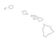
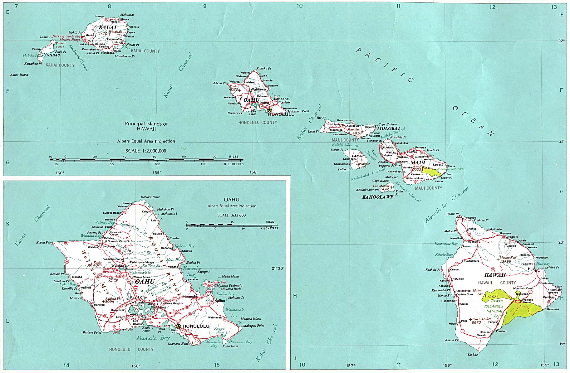
Map of Hawaii links to other maps
- Earthquakes (recent)
- Federal Lands and Indian Reservations (PDF)
- Haleakala National Park (PDF)
- Hawaii Volcanoes National Park (PDF)
- Historical – A large selection of historical Hawaii maps.
- Political (click on the map to enlarge)
- Shaded Relief
Downloadable
- Blank Outline Map – A printer-friendly document.
- Roads – You can zoom in and print your own maps at a large scale.
- Shaded Relief – Not the greatest quality, but better than nothing.
For purchase
- Hawaii highway map – A laminated, tear-proof folding highway map.
- Hawaii Wall Map – A richly-colored shaded relief and elevation tinted map.
- For a large selection of other Hawaii maps, click here.
Hawaii Of Interest
The earliest known inhabitants of the islands migrated from the Marquises and Tahiti. Kamehameha I established himself as monarch over all the islands in the late 1700’s and ruled until his death in 1819.The Republic of Hawaii was established in 1894 and it became a U.S. territory in 1898. Statehood was granted in 1959.
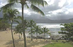
Hawaii is the longest chain of islands in the world. It has the highest mountain (if measured from the ocean floor), the most endangered species, and is home to the wettest spot on earth. The largest number of “best-rated” beaches in the world are found here and Hawaii has the most isolated population group on earth.
Hawaii’s leading source of income is tourism. Next in line are military bases, including Pearl Harbor. Sugarcane and pineapples, grown mainly on exspansive company-owned plantations, are the chief agricultural products. Greenhouse vegetables, coffee, macadamia nuts, and papayas are also significant. Commercial fishing, especially tuna, is also important. Other products include cattle and dairy products.
See related information at United States Maps
Browse all the other World Maps.