Click for printable map of Netherlands
(Browse all the other World Maps.)
Map of Netherlands links to other maps
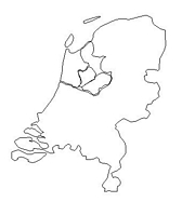
- Outline – Unlabeled printer-friendly map of Netherlands
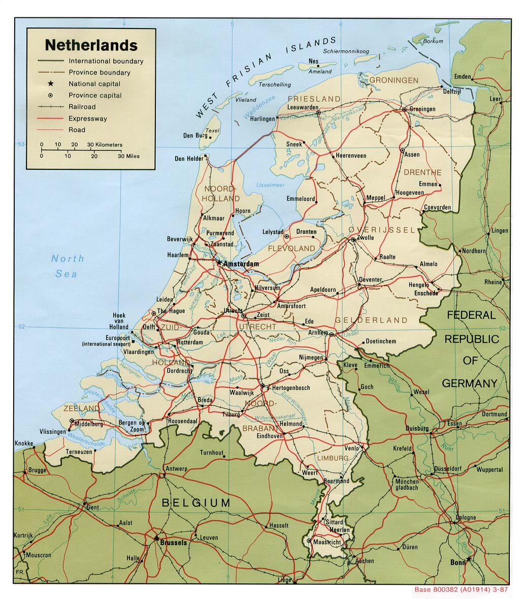
- Shaded Relief – (click on the image to enlarge)
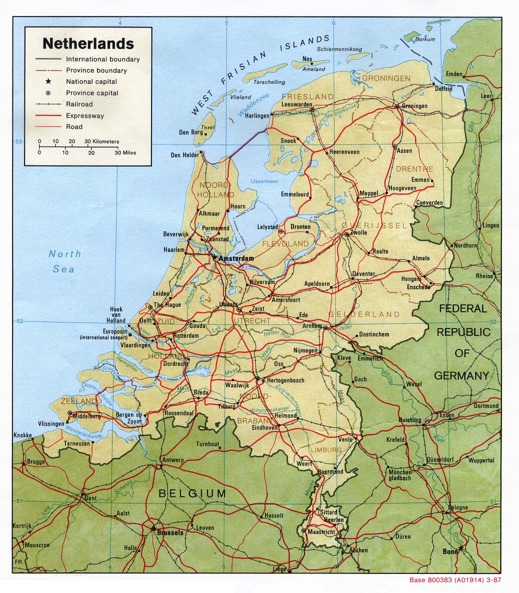
- Political – (click on the image to enlarge)
- Landform
- Roads – Go to MapQuest and enter an address to get a custom map of Netherlands.
- Weather
- Earthquake Activity
- Languages
- Flags – Click on the map of Netherlands to see each province’s map. Then click on the province map to see each division’s flag.
- eBook Maps – Free eBook maps for eBook devices.
For purchase
- Political Wall Map – Exclusively developed by Maps.com and GRAPHI-OGRE and not available in any store, this wall map was created using high resolution vector digital imagery with state-of-the-art print on demand technology. This process allows Maps.com to offer over-sized laminated wall maps. Ideally suited for light reference, this political wall map includes cities, airports, rivers, lakes, and major roads (not numbered). Available in three sizes.
- Click here for all Netherlands map products – Maps.com!
Netherlands Of Interest
The Kingdom of the Netherlands is in Western Europe, bordering the North Sea, between Belgium and Germany. It covers 15,963 square miles, about twice the size of New Jersey. The terrain is mostly coastal lowland and reclaimed land (called polders) with some hills in the southeast. The climate is temperate and marine with cool summers and mild winters. The highest point is Vaalserberg, a stunning 1056 feet.
The government is a constitutional monarchy and the country has 12 provinces. Netherlands gained independence in 1579 (from Spain), however, the northern provinces of the Low Country concluded the Union of Utrecht, but it was not until 1648 that Spain recognized their independence.
The population of 16,318,199 (July 2004 estimate) is 83% Dutch and 17% classified as other, of which 9% are non-Western origin; mainly Turks, Moroccans, Antilleans, Surinamese, and Indonesians. The religions are divided as Roman Catholic 31%, Protestant 21%, Muslim 4.4%, other 3.6%, unaffiliated 40%. Their two official languages are Dutch and Frisian.
The Netherlands has a prosperous and open economy, which depends heavily on foreign trade. The economy is noted for stable industrial relations, moderate unemployment and inflation, a sizable current account surplus, and an important role as a European transportation hub. Industrial activity is predominantly in food processing, chemicals, petroleum refining, and electrical machinery.
See related information at United States Maps
Browse all the other World Maps.