Click for printable map of Texas
(Browse all the other World Maps.)
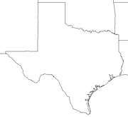
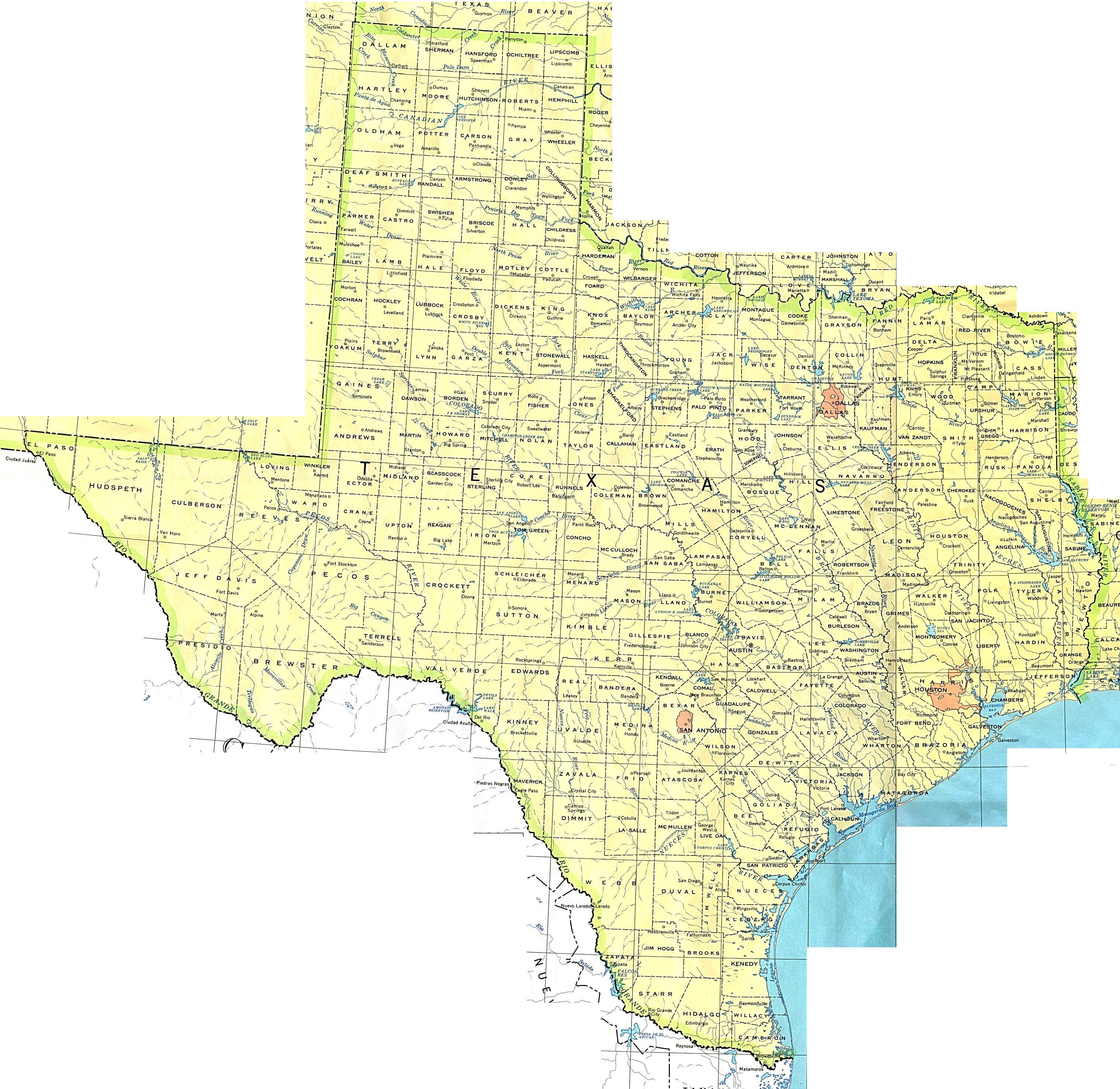
Map of Texas links to other maps
- Political (click on the map to enlarge)
- Roads A good source for Texas road maps online.
- Roads – A map showing majors highways – you can view the whole state or zoom in.
- Shaded Relief (click on the map to enlarge)
- Highways Map
- Major Cities Map
- Regions Map
Downloadable
- Blank Outline Map – A printer-friendly document.
- Roads – You can zoom in and print your own maps at a large scale.
- Roads – A map showing majors highways – you can print the whole state or zoom in and print a region.
- Shaded Relief – Can be printed at two different zoom levels (click on the map to zoom).
For purchase
- Folded, Free – A free highway map can be requested from this site.
- Rand McNally Texas Travel Map – A laminated, tear-proof folding highway map.
- Texas Wall Map – A beautiful shaded relief map available as plain paper or laminated.
- Texas Satellite Map – Texas as it looks from an altitude of 440 miles.
- For a large selection of other Texas maps, click here.
- Texas Maps Store – A collection of different types of Texas maps.
Texas Of Interest

In 1519, the Spanish explorer Pineda made a map of the Texas coast establishing Spain’s rule in Texas. Early colonization efforts in the region date from the 1700s and were a result of initiatives by both Spain and France. Many felt war with Mexico was necessary to ensure freedom and the first major battle occurred in 1835. Texas achieved independence in 1836 and became a state in 1845.
Texas is the only state to have the flags of 6 different nations fly over it and there have been 8 changes of government. Texas is the only state to join the U. S. by treaty instead of annexation and the state was an independent nation from 1836 to 1845. There is a ranch in Texas that is larger than Rhode Island and more land is farmed there than in any other state. Texas is home to the world’s largest helium well.
Holding vast natural resources, Texas is an agricultural state and an industrial leader. Second only to Alaska in size, it leads all other states in such categories as cattle, sheep, oil, and cotton. Texas farms also produce a wide variety of fruits and vegetables, greenhouse and nursery products, poultry and eggs, dairy products, rice, sugar cane, wheat, hay, and peanuts.
Natural gas, sulfur, helium, asphalt, graphite, salt, bromine, cement, and clays are among the state’s valuable resources. Chief Texas manufacturing industries are oil refining, chemicals, machinery, food processing, and transportation equipment.
See related information at United States Maps
Browse all the other World Maps.