Click for printable map of Missouri
(Browse all the other World Maps.)
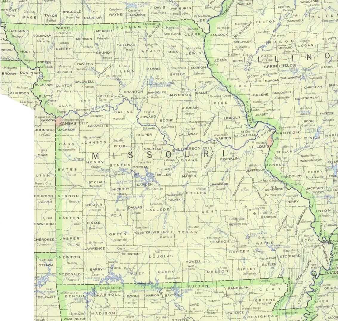
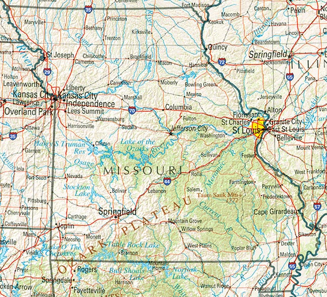
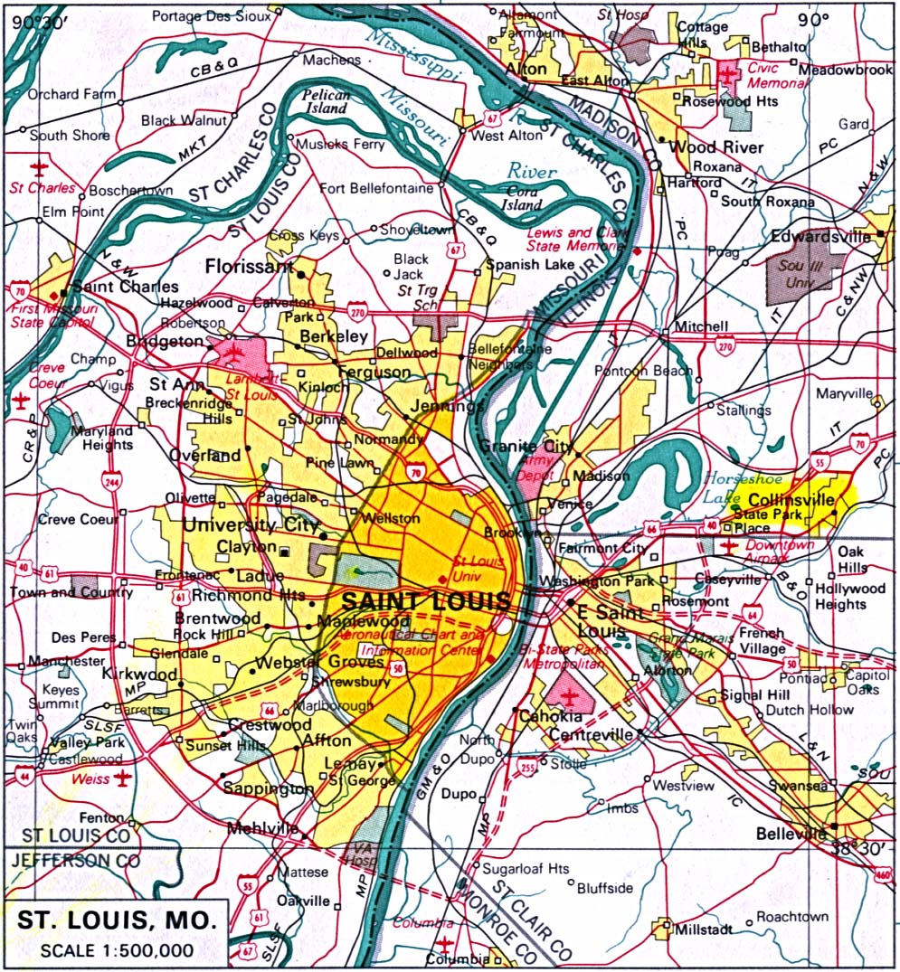
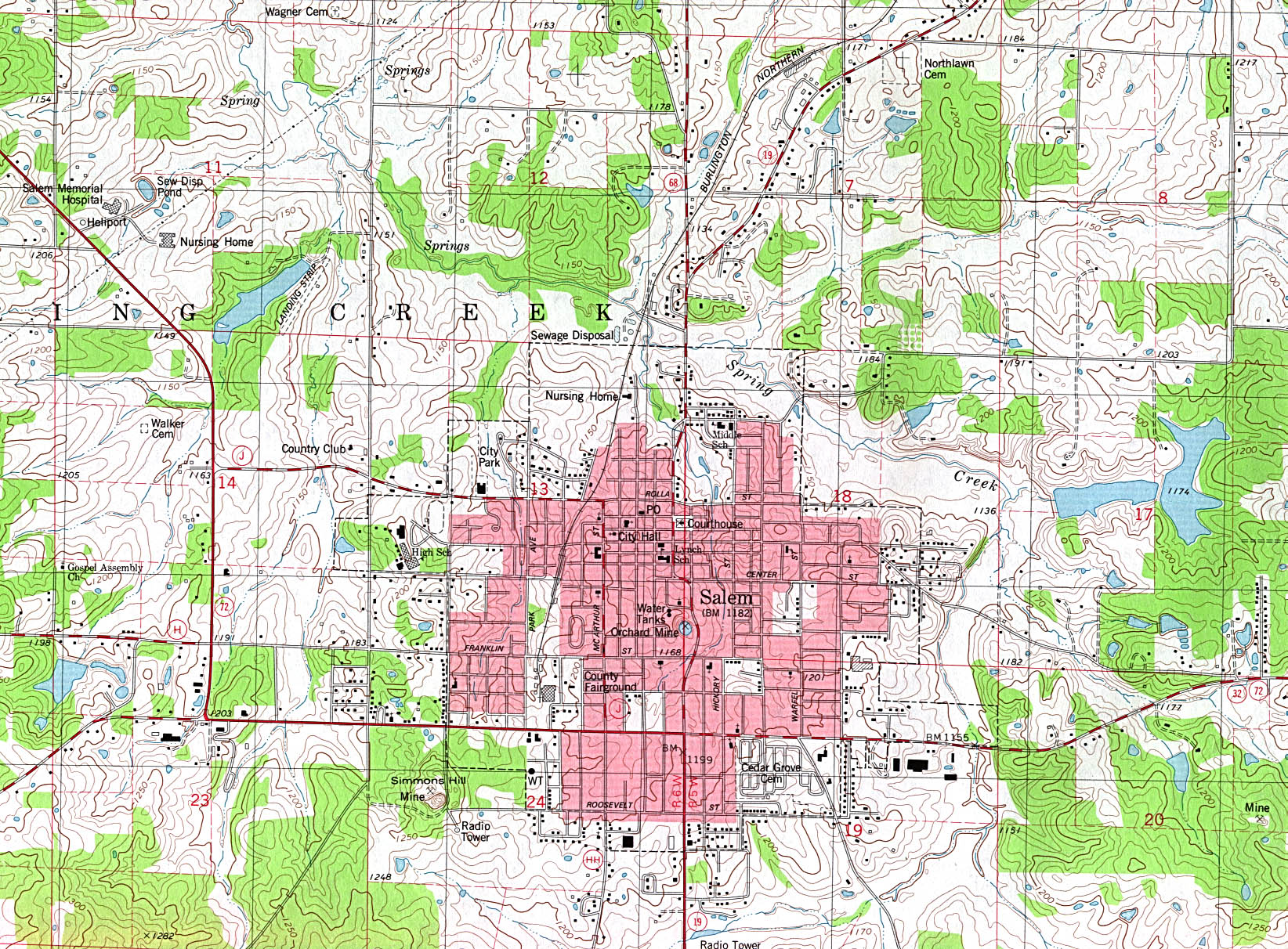
Map of Missouri links to other maps
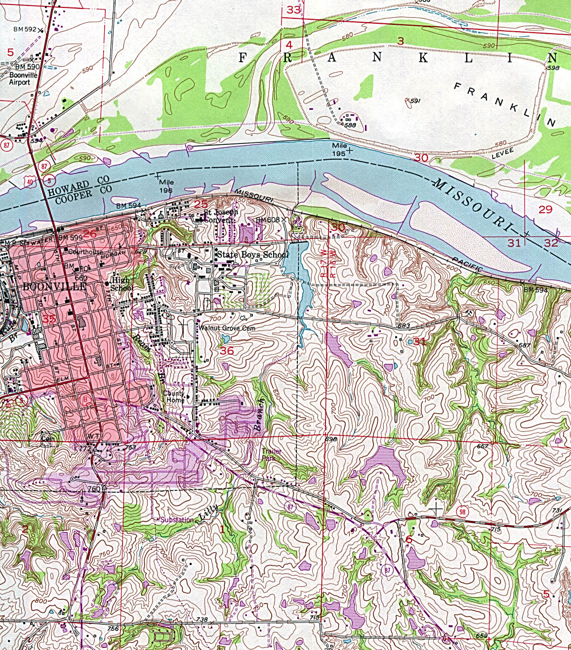
- Boonville – topographic (click on the map to enlarge)
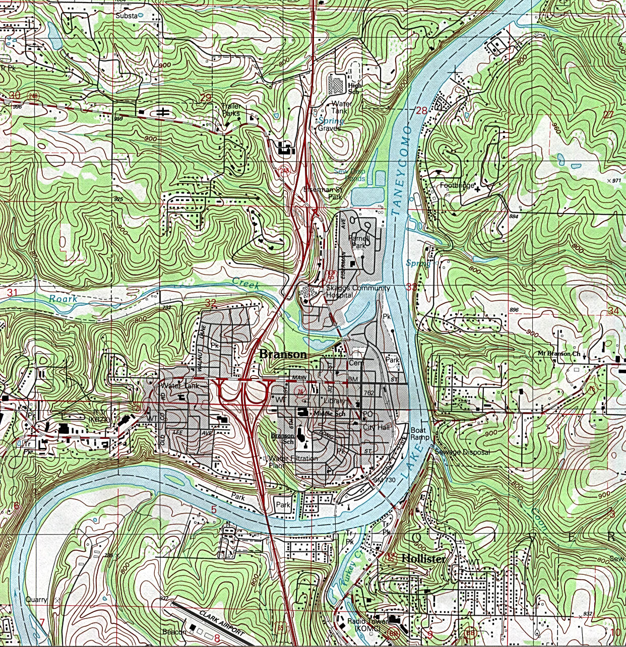
- Branson – topographic (click on the map to enlarge)
- Federal Lands and Indian Reservations (PDF)
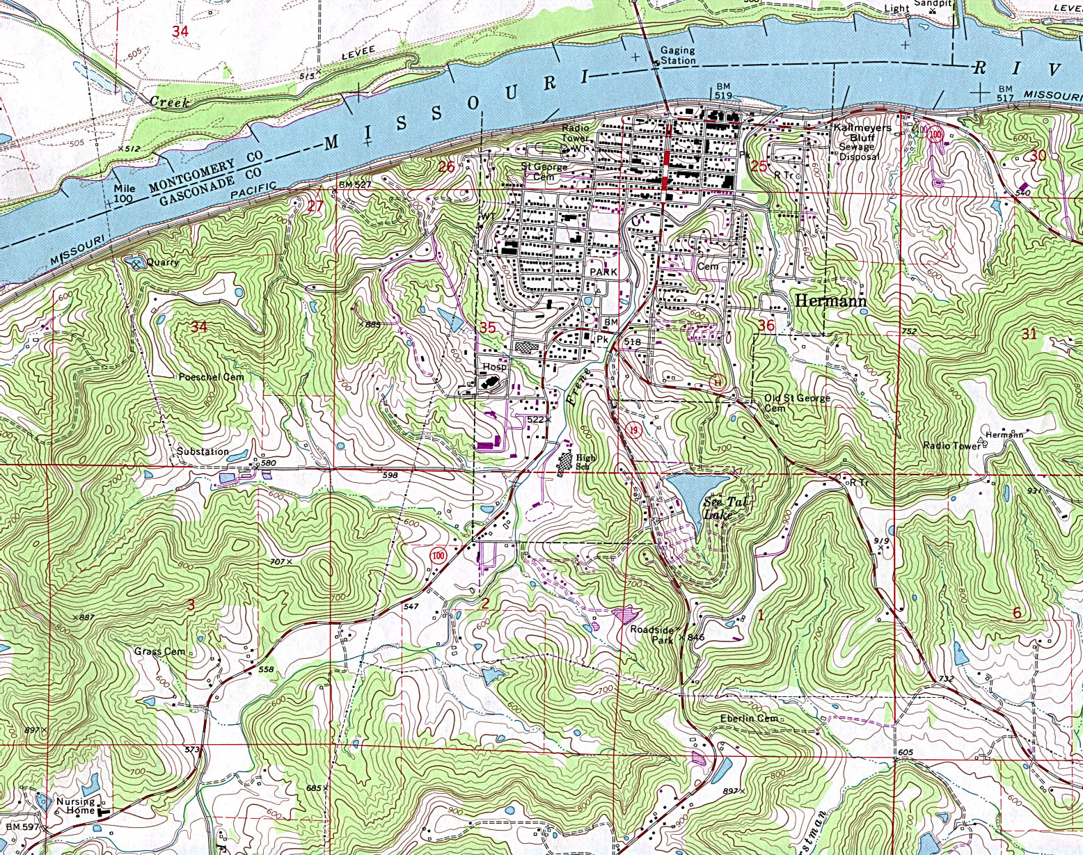
- Hermann – topographic (click on the map to enlarge)
- Historical – A large selection of historical Missouri maps.
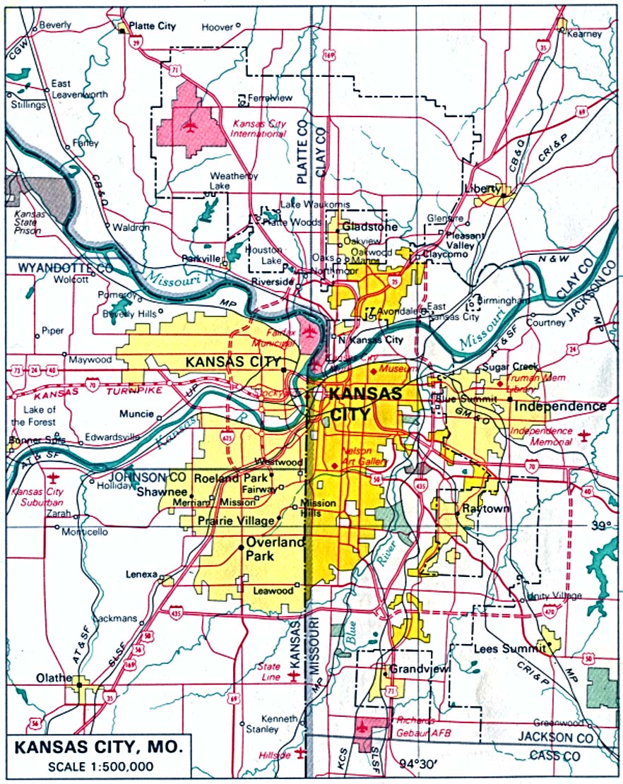
- Kansas City (click on the map to enlarge)
- Kansas City, Kansas and Missouri 1907 (click on the map to enlarge)
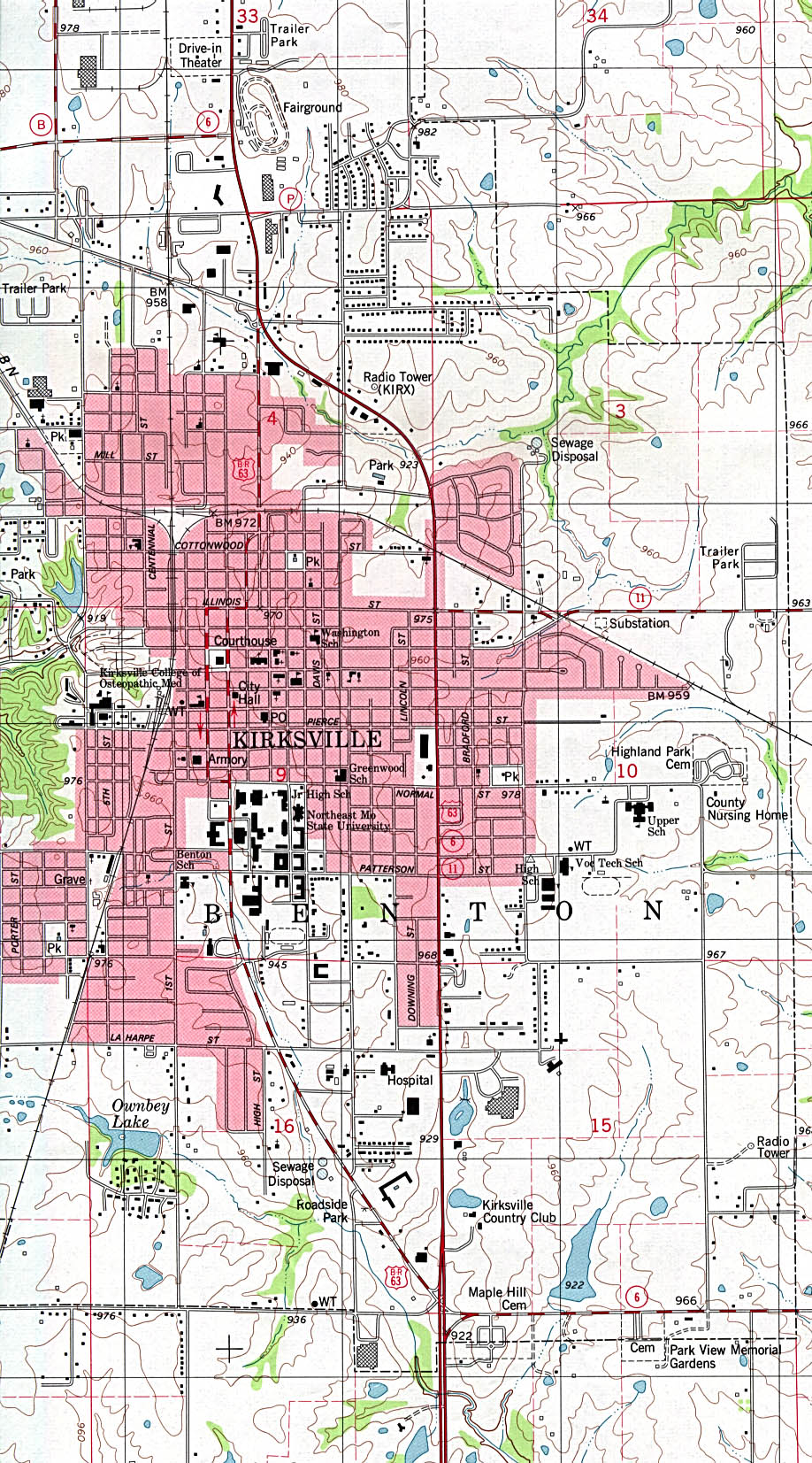
- Kirksville – topographic (click on the map to enlarge)
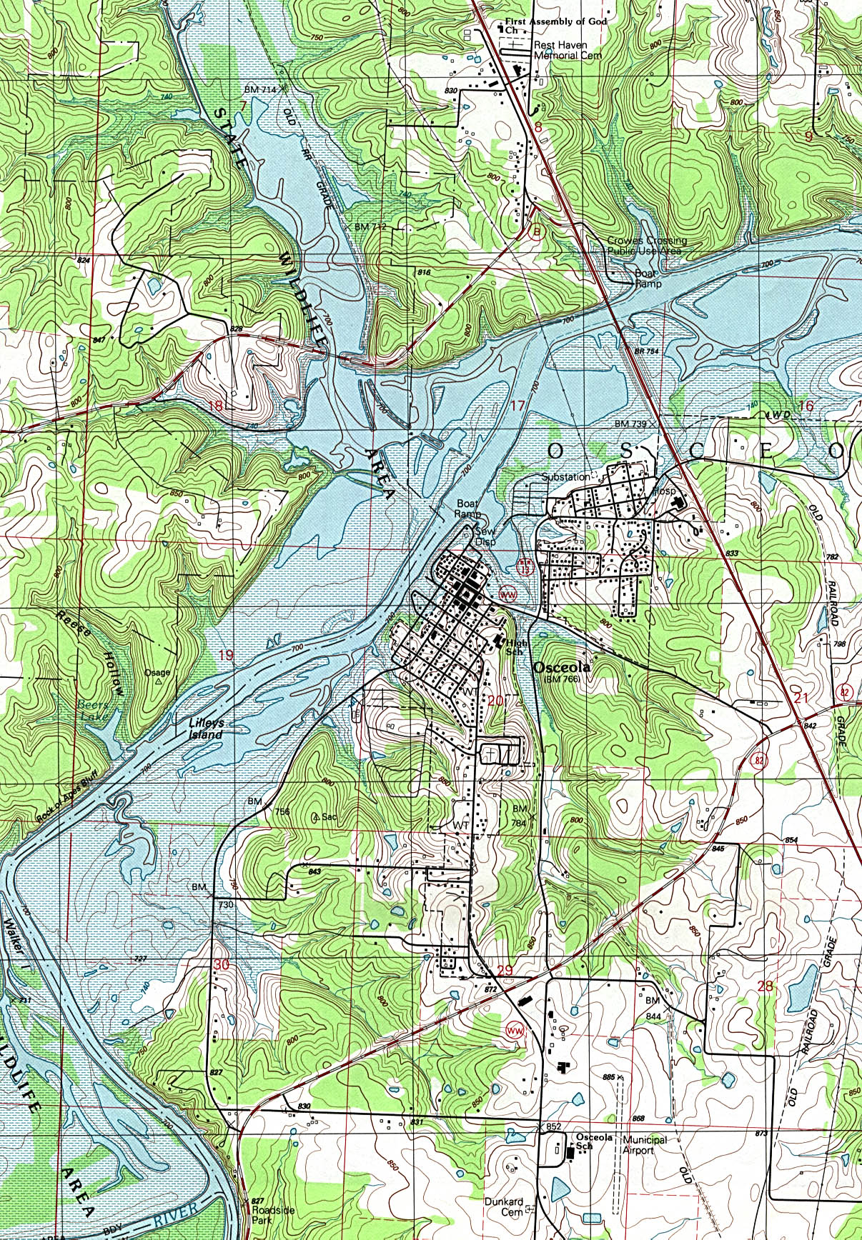
- Osceola – topographic (click on the map to enlarge)
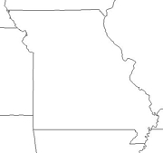
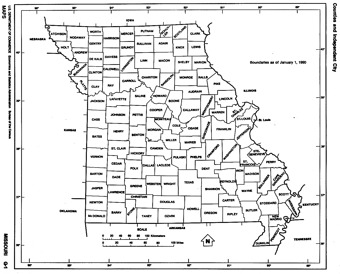
- Outline – counties labeled (click on the map to enlarge)
- Ozark National Scenic River (PDF)
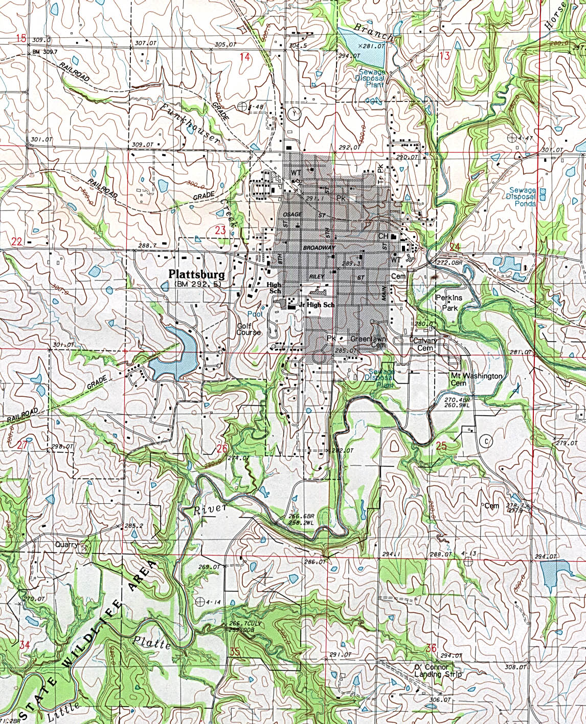
- Plattsburg – topographic (click on the map to enlarge)
- Political (click on the map to enlarge)
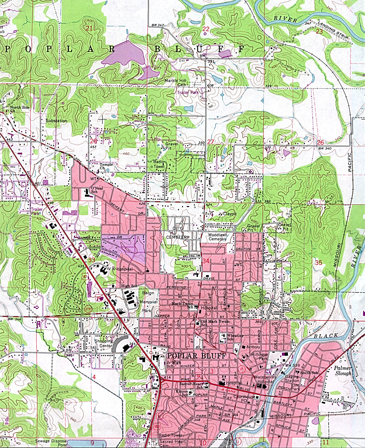
- Poplar Bluff – topographic (click on the map to enlarge)
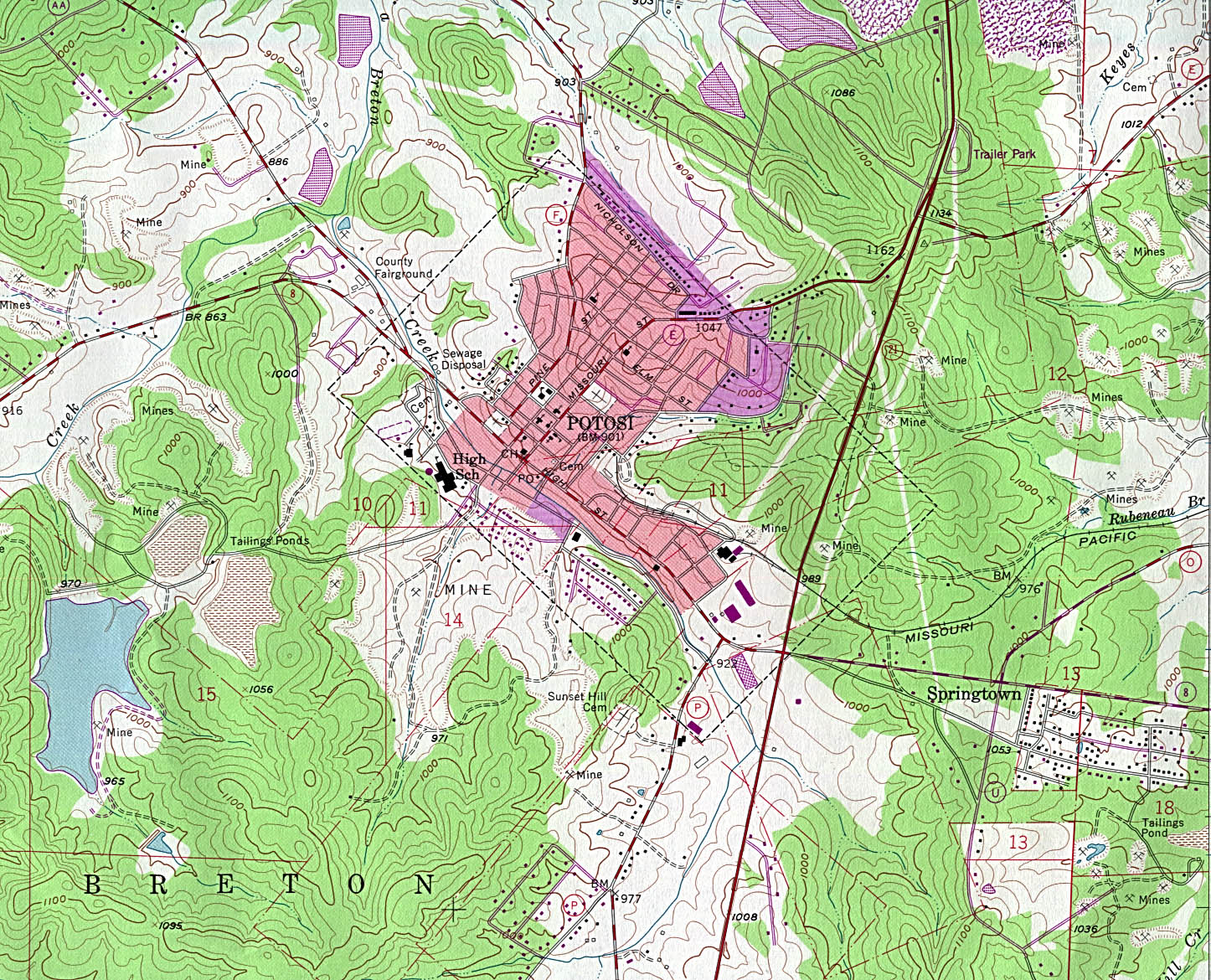
- Potosi – topographic (click on the map to enlarge)
- Reference (click on the map to enlarge)
- Rolla – topographic (click on the map to enlarge)
- Saint Louis (click on the map to enlarge)
- Saint Louis 1885 (click on the map to enlarge)
- Salem – topographic (click on the map to enlarge)
- Shaded Relief (click on the map to enlarge)
Downloadable
- Blank Outline Map – A printer-friendly document.
- Roads – You can zoom in and print your own maps at a large scale.
- Shaded Relief – Can be printed at two different zoom levels (click on the map to zoom).
For purchase
- Folded, Free – A free highway map can be requested from this site.
- Rand McNally Missouri Travel Map – A laminated, tear-proof folding highway map.
- Missouri Wall Map – A richly-colored shaded relief and elevation tinted map.
- For a large selection of other Missouri maps, click here.
Missouri Of Interest
In the second half of the 17th century French explorers Jacques Marquette and Louis Jolliet and later Robert Cavelier and sieur de La Salle claimed the whole area for France. In 1762, France ceded the territory west of the Mississippi to Spain and in 1800 the Louisiana Territory (including the Missouri area) was given back to France, then in 1803 it passed to the United States. The area was formed as a territory in 1812 and became a state in 1821.
Food processing is the state’s fastest-growing industry. Missouri is also a major producer of automobiles and auto parts, defense and aerospace technology, beer and beverages, and is the world’s largest shoe-manufacturing center. The state’s mines produce iron ore, zinc, barite, and limestone. It also supplies 90% of the nation’s lead. Missouri places high among the states in hogs, cattle, turkeys and broilers. The state’s chief agricultural products are corn, soybeans, sorghum, hay, and rice.
Missouri is home to the first Pony Express run and the world’s first all-steel railroad bridge. Found here also is the tallest monument in the U. S., the Gateway Arch. The Ozark Mountains and the country music shows of Branson both draw a great deal of visitors.
See related information at United States Maps
Browse all the other World Maps.