Click for printable map of Canada
(Browse all the other World Maps.)
Map of Canada links to other maps
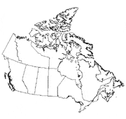
- Outline, Unlabeled
- Printable – A map of Canada with the provinces and territories labeled.
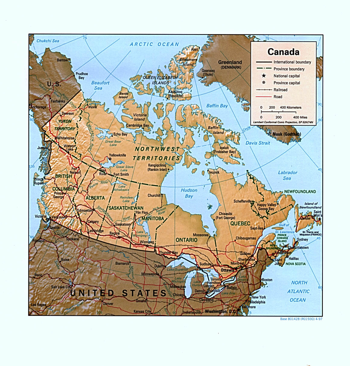
- Shaded Relief – (click on the map to enlarge)
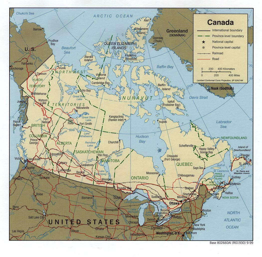
- Political – (click on the map to enlarge)
- Roads – Go to MapQuest, choose a country and enter a city.
- Earthquake Activity
- Languages
- Flags – Click on the map of Canada to see each country’s flag
- eBook Maps – Free eBook maps for your eBook device.
For purchase
- Canada Road Atlas – 112 page road atlas.
- Canada Wall Map – Available laminated or plain paper.
- Canada Reference Wall Maps – A high-quality map available in three sizes.
- Click here for all Canada map products – Maps.com
Fly From Canada – Discover Canada and the world. Resource guide for the Canadian traveller and visitor to Canada. Find airlines, airports, travel agents, tour operators and tons more travelling essentials.
Canada Of Interest
Canada is a federation of 10 provinces and three territories. The country covers 6,200,480 square miles and is the second-largest in the world (Russia is the largest). Mount Logan at 19,850 feet is the highest point. Aside from the Great Lakes, North America’s three largest lakes are in Canada. The terrain is mostly plains with mountains in west and lowlands in southeast. The climate varies from temperate in the south to arctic in the north.
The area’s first inhabitants were various peoples who came from Asia over the land bridge between Russian and Alaska more than 10,000 years ago. The Vikings arrived in Canada about 1000 A.D. John Cabot, representing England, landed on the east coast in 1497. The French came soon after. These and many other expeditions to Canada were in search of a northwest passage to Asia. The French-English rivalry remained prevalent in Canadian history until 1763. Canada gained independence on July 1, 1867.
The country’s population is 32,507,874 (2004 estimate). Approximately 90% of the population is located within 200 miles of the US border. About 40% of the Canadian population are of British background, while 29% are of French descent. Another 20% are of other European origins. French and English are both the official languages. Approximately 46% of the people are Roman Catholics, and aboot 36% are Protestant. The largest Protestant groups are the Presbyterians, the United Church of Canada, and Anglicans.
See related information at United States Maps
Browse all the other World Maps.