Click for printable map of Czech Republic
(Browse all the other World Maps.)
Map of Czech Republic links to other maps
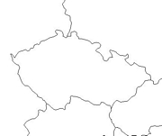
- Outline – Unlabeled printer-friendly map of Czech Republic
- Shaded Relief – (click on the image to enlarge)
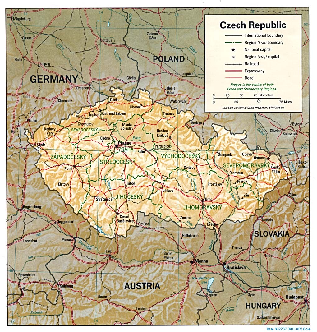
- Political – (click on the image to enlarge)
- Political Map – (click on the image to enlarge)
- Landform
- Roads – Go to MapQuest and enter an address to get a custom map of Czech Republic.
- Earthquake Activity
- Flags – Click on the map of Czech Republic to see each county’s flag.
- Marquisate of Moravia – 1760 – (click on the image to enlarge)
- Germanic Confederation of States – 1836 – (click on the image to enlarge)
- Austro-Hungarian Monarchy 1895 – (click on the image to enlarge)
- Prague – Circa 1900 – (click on the image to enlarge)
- eBook Maps – Free eBook maps for your eBook device.
- Physical – (click on the image to enlarge)
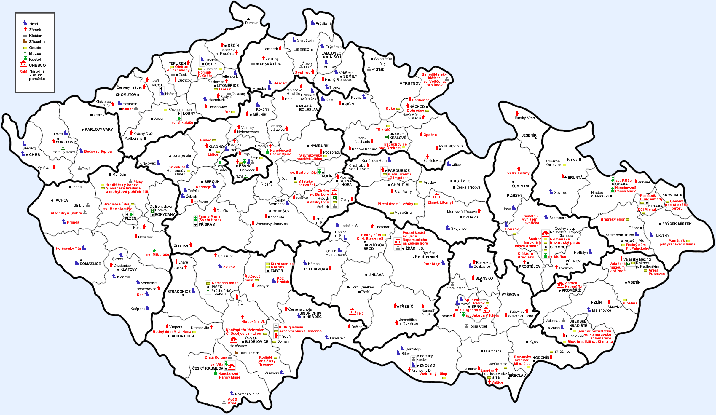
- Castels Map – (click on the image to enlarge)
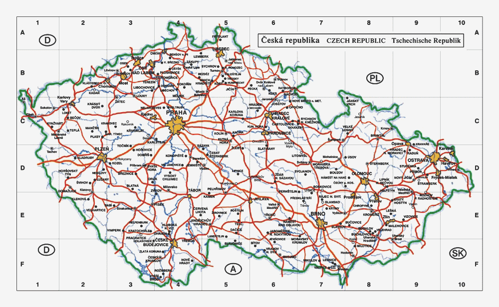
- Road Map
For purchase
- Czech/Slovak Republic highway map – Beyond the outstanding roadwork detail, Michelin maps show political boundaries, regional and national parks, and important sights such as castles, ruins, and churches.
- Czech Republic Political Wall Map – Large high-quality laminated wall map of Czech Republic. Exclusively developed by Maps.com and GRAPHI-OGRE and not available in any store, this wall map was created using high resolution vector digital imagery with state-of-the-art print on demand technology. Printed on 24lb. premium coated bond paper and laminated on both sides using 3mm laminate through a hot lamination process, this map is markable using dry erase pens and can be easily cleaned. Available in 3 sizes.
- Prague, Czech Republic Destination Map – A high quality laminated folding map by National Geographic.
- Click here for all Czech Republic map products – Maps.com!
Czech Republic Of Interest
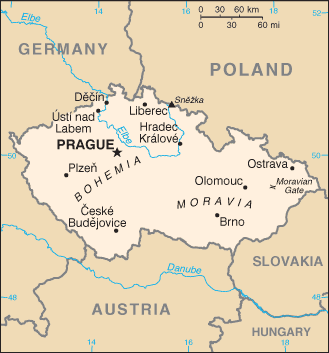
The Czech Republic is in central Europe southeast of Germany and covers 30,442 square miles. The climate is temperate with cool summers and cold, cloudy, humid winters. Bohemia in the west consists of rolling plains, hills, and plateaus surrounded by low mountains; Moravia in the east consists of very hilly country. The highest point is Snezka at 5256 feet above sea level.
Following the First World War, the Czechs and Slovaks merged to form Czechoslovakia. After World War II, a truncated Czechoslovakia fell within the Soviet sphere of influence. In 1968, an invasion by Warsaw Pact troops ended the efforts of the country’s leaders to liberalize Communist party rule and create “socialism with a human face.”
With the collapse of Soviet authority in 1989, Czechoslovakia regained its freedom through a peaceful “Velvet Revolution.” On 1 January 1993, the country underwent a “velvet divorce” into its two national components, the Czech Republic and Slovakia. The Czech Republic joined NATO in 1999 and the European Union in 2004.
The country’s population is 10,241,138 (July 2005 est.); 90.4% are Czech, 3.7% are Moravian, and Slovaks make up 1.9%. The major industries are metallurgy, machinery and equipment, motor vehicles, glass, and armaments. Agricultural products include wheat, potatoes, sugar beets, hops, fruit; pigs, and poultry. The Czech Republic’s natural resources are hard coal, soft coal, kaolin, clay, graphite, and timber.